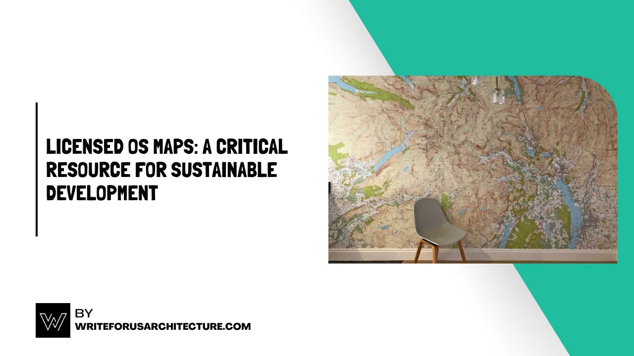
Sustainable development goals in the UK can only be achieved through precision and not just ambition. Renewable infrastructure planning, habitat restoration, and resilient urban space design all require access to quality geographic information to support long-term success. When stakeholders buy OS maps, they obtain more than topographical information; they acquire a dataset that will help them use the land responsibly, mitigate risks, and be environmentally visionary.
Renewable Energy Siting and Impact Analysis
Solar farms and wind turbines do not just appear in open fields. The location decision involves several environmental, logistical, and regulatory factors. Licensed OS maps provide detailed elevation, land cover, and access route information, enabling planners to assess potential energy production while not exceeding ecological boundaries.
Developers can also reduce the cost of infrastructure and environmental impact by visualising the complexity of the terrain and its proximity to grid connections. Such layers are particularly important in projects adjacent to sites of natural beauty or other protected areas, where the accuracy of boundaries is both critical to viability and to obtaining consent.
Conservation Efforts Guided by Accurate Boundaries
Rewilding, wetland conservation, and even biodiversity corridor planning require an accurate understanding of the location of natural and artificial boundaries. OS maps provide crucial details of watercourses, woodland areas, and footpaths, enabling conservationists to apply measures without inadvertently interfering with adjacent systems.
The combination of licensed map data with wildlife records or soil quality assessments enables environmental organisations to identify restoration opportunities more efficiently. It also helps minimise the risk of losing resources or repeating work that has already been done, ensuring that every intervention contributes to a more comprehensive ecological picture.
Green Infrastructure Planning in Urban Areas
Green infrastructure is required as cities adjust to climate change. To the greatest extent possible, the current urban fabric should be minimally disturbed to integrate tree-planting programs, permeable surfaces, rain gardens, and sustainable transportation corridors.
The availability of OS datasets enables planners to incorporate drainage patterns, property boundaries, and transport networks into their proposals. This overall visibility allows councils, developers, and engineers to plan and prevent expensive retrofitting or conflicts with utilities and green spaces.
Flood Risk and Climate Adaptation Modelling
Sustainable development is increasingly about anticipating the future. High-resolution elevation and hydrology data are necessary to implement flood mitigation measures, coastal defence improvements, and infrastructure relocation, all of which are components of licensed OS map packages.
This level of detail is crucial to the fidelity of modelling flood extents or drainage pathways, without which informed decisions cannot be made. OS mapping facilitates the combination with climate models and satellite information, which provides planners with the means to construct defences in a proactive manner, rather than in response to events.
Agricultural Land Management and Soil Health
The micro-diversity of the landscape is critical to productive and environmentally sustainable farming. OS maps provide boundaries, contours, and access routes, helping landowners manage erosion, make the best use of the field, and create buffer zones to manage runoff.
When licensed mapping is employed in conjunction with crop rotation plans, carbon sequestration goals, or organic transition plans, farms can be integrated into a sustainable land-use matrix, rather than remaining an isolated economic unit.
Streamlining Multi-Stakeholder Collaboration
Sustainable development rarely occurs on its own. With the same baseline being referred to by all parties, it becomes simpler to work together among housing developers, environmental regulators, transport authorities, and local communities. Licensed OS maps provide that shared ground.
Through shared mapping layers, everyone will be able to track progress, visualise the outcomes and see the constraints in a format that is acceptable to all industries. This uniformity reduces cases of miscommunication and aids in the synchronisation of timelines, objectives and compliance needs.
Investing in Information for Long-Term Impact
Conscience-based development must be based on facts, not estimates. By purchasing OS maps, planners, conservationists, and engineers are investing in the integrity of their work. These certified instruments offer a credible model for balancing growth, equity, and environmental protection.
In the future, which will be characterised by complexity and constraint, accuracy will not only be useful, but also necessary. Sustainable development becomes a reality with the appropriate mapping base.
Also Read:

